The Ozaukee Interurban Trail is a 30-mile regional, paved, transportation and recreation shared-use trail spanning the length of Ozaukee County, through diverse habitats including hardwood woodlands, wetlands, farmlands, Cedar Creek, the Milwaukee River, and Lake Michigan. The Trail connects the Ozaukee County communities of Mequon, Thiensville, Cedarburg, Grafton, Port Washington, and Belgium along the historic Interurban Electric Railway right-of way owned by We Energies.
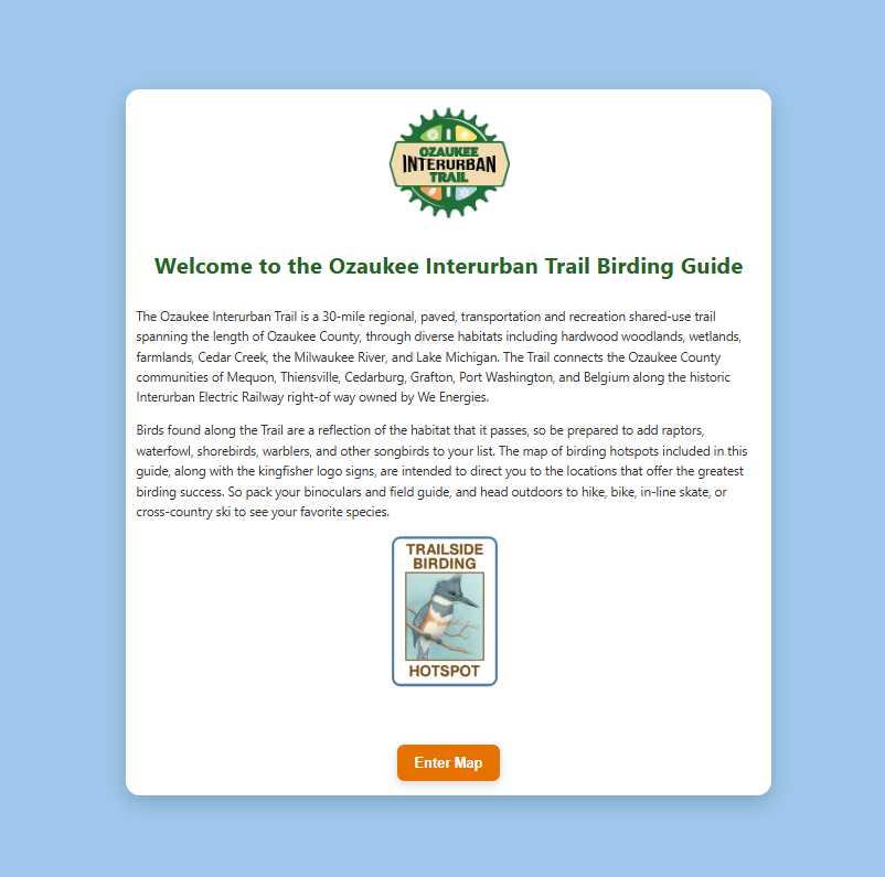
Birds found along the Trail are a reflection of the habitat that it passes, so be prepared to add raptors, waterfowl, shorebirds, warblers, and other songbirds to your list. The map of birding hotspots included in this guide, along with the kingfisher logo signs, are intended to direct you to the locations that offer the greatest birding success. So pack your binoculars and field guide, and head outdoors to hike, bike, in-line skate, or cross-country ski to see your favorite species.